City Bike

City bike itinerary: about 45 km
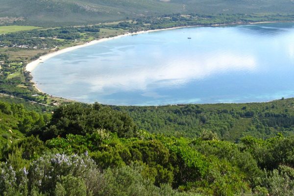
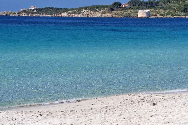
Just outside the Laguna Blu Camping pass the roundabout and continue straight towards Porto Conte. The road ends at a crossroads, turn right towards Capo Caccia. A few kilometers later you will see on the left the Mugoni Beach which is in front of Porto Conte’s Bay. Once you have passed the beach you will find the on your right the oasis called “Le Prigionette” or better known as L’Arca di Noè (Noah’s Ark). We recommend a visit to Mount Timidone and Isola Piana for the unique landscape you can enjoy.
Alghero

GPS Coordinates
40.5633, 8.32017

Alghero, also known as Barceloneta (little Barcelona) for having preserved the use of Catalan by its inhabitants, is one of the main gateways to Sardinia thanks to the nearby airport near Fertilia.

Porto Conte

GPS Coordinates
40.5939, 8.20417

Porto Conte’s Bay, a natural creek of the Coral Coast, is enclosed between the promontories of Capo Caccia and Punta Giglio, overlooking the bay of Alghero. The coast is formed by coves, precipices and the long beach of Pineta Mugoni.

Capo Caccia

GPS Coodinates
40.5611, 8.16392

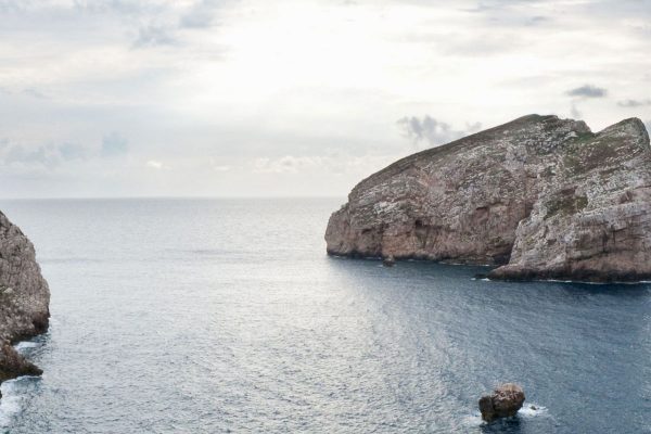
Capo Caccia is an imposing promontory overlooking the bay of Alghero, and with Punta del Giglio, the other promontory of Alghero, encloses the great gulf of Porto Conte. Here it is the weather station of Capo Caccia and, due to its location, it has a lighthouse 186 meters high which is one of the most visible at a distance around the Mediterraneo and throughout Italy.